Dronelife
2w
138

Image Credit: Dronelife
Advancing GIS Software: Blue Marble Geographics Expands Cloud and AI Capabilities
- The geospatial industry is evolving with GIS software incorporating cloud computing and AI for improved data processing and analysis.
- Blue Marble Geographics has introduced Geographic Calculator Cloud, a cloud-based solution for geodetic transformations and Global Mapper Insight and Learning Engine, an AI tool for point cloud classification.
- Geographic Calculator Cloud enables coordinate transformations, geodetic calculations, and vector file translations from any location, catering to industries like surveying and engineering.
- Backed by the GeoCalc coordinate system library, the platform provides precise coordinate reference conversions and enhances workflow efficiency through cloud accessibility.
- Future updates will extend Geographic Calculator Cloud with a map file viewer and more geodetic processing tools, aligning it closely with the desktop version.
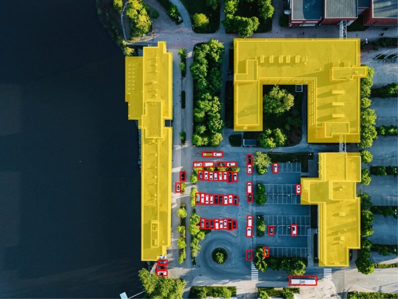
- The Global Mapper Insight and Learning Engine leverages deep learning for object detection in point clouds, facilitating automated feature identification with custom training models.
- Blue Marble Geographics plans to expand object detection models further to support a wider range of features and streamline GIS workflows.
- The company's commitment to user-driven innovation is evident in the evolution of Global Mapper, recognized for its impact in the geospatial industry.
- In 2025, Blue Marble Geographics aims to amplify AI integration and cloud computing in its software suite, offering advanced deep learning models and enhanced GIS tools.
- The GEOTalks User Conference in January 2025 will showcase the capabilities and roadmap of Geographic Calculator Cloud and other innovations.
Read Full Article
8 Likes
For uninterrupted reading, download the app