Mit
1M
49

Image Credit: Mit
Advancing urban tree monitoring with AI-powered digital twins
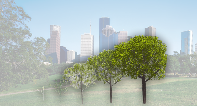
- MIT Computer Science and Artificial Intelligence Laboratory (CSAIL), Google, and Purdue University have developed a new system named “Tree-D Fusion” that accommodates the merging of Artificial Intelligence (AI) and tree-growth models. It produces accurate 3D models of existing urban trees and environmental data that can help predict how individual trees will grow over time and impact their surroundings.
- Tree-D Fusion produces the first-ever large-scale database of 600,000 environmentally aware simulation-ready tree models across North America, using Google Street View and deep learning.
- The model predicts how trees would grow under different environmental conditions and climate scenarios, such as different possible local temperatures and varying access to groundwater. Policymakers can use this for proactive planning by anticipating where growing branches might tangle with power lines or strategically placing trees to keep neighborhoods cool.
- AI-based tree modeling helps in environmental justice by mapping urban tree canopy in unprecedented detail and uncovering disparities in green space access across different socioeconomic areas. The team is working with ecologists and tree health experts to refine these models so that benefits branch out to all residents equitably.
- Their digital modeling system captures the intricate dance of shade patterns throughout the seasons, revealing how strategic urban forestry could hopefully evolve sweltering city blocks into more naturally cooled neighborhoods.
- Tree-D fusion is exciting because it pushes researchers to rethink fundamental assumptions in computer vision, where even a gentle breeze can dramatically alter tree structures from moment to moment.
- The dataset is a springboard for future innovations in computer vision, and they’re already exploring applications beyond street view imagery and to platforms like iNaturalist and wildlife camera traps. The goal is to extend the platform’s capabilities to a planetary scale.
- The research is supported by the United States Department of Agriculture’s (USDA) Natural Resources Conservation Service and the National Institute of Food and Agriculture.
- The researchers presented their findings at the European Conference on Computer Vision in August.
Read Full Article
3 Likes
For uninterrupted reading, download the app