A naukri.com initiative
Brighter Side of News
1d
144
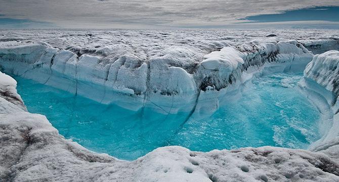
Image Credit: Brighter Side of News
Drone Technology Exposes Alarming Changes in Greenland Ice Sheet
- A drone equipped with custom instruments is providing high-resolution data on water vapor and its isotopic fingerprints above the Greenland ice sheet, revealing a complex water cycle that may impact future sea level rise.
- Researchers utilized a fixed-wing drone to collect air samples and analyze isotopes to understand water movement through the atmosphere above Greenland.
- Traditional methods had limited isotope data from the air above Greenland, creating a data gap that the drone study aims to fill.
- The drone flights reach heights of up to 1,500 meters above the ice sheet, providing valuable insights into water vapor movements.
- Isotopes act as 'water's fingerprints,' revealing the history of phase changes and uncovering how water behaves in extreme Arctic conditions.
- The study's findings suggest that existing climate models may underestimate the amount of water vapor escaping from Greenland, impacting predictions of precipitation and moisture transport.
- Accurate models are crucial for understanding future ice loss and sea level rise, but modeling Arctic moisture presents challenges due to unique physical processes in the region.
- By capturing data on airborne water vapor and linking it to surface snow, scientists can now better understand how water moves in and out of Greenland's ice, contributing to a more complete water budget analysis.
- The research highlights the importance of studying water movements in the Arctic, with implications for global sea level rise, ocean currents, and ecosystem stability.
- Through drone-based isotope profiling, researchers are gaining insights that could reshape climate projections and inform strategies for adapting to a changing world.
Read Full Article
8 Likes
For uninterrupted reading, download the app