Dronelife
3w
386

Image Credit: Dronelife
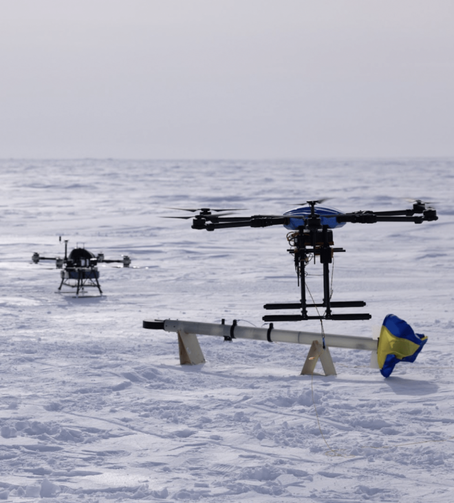
Drones Take Science to New Heights: UAF Research at AGU24
- Scientists from the University of Alaska Fairbanks (UAF) Geophysical Institute are using drones to advance research in challenging environments.
- Projects presented at the AGU24 highlight the use of drones in measuring snow and sea ice depth, mapping the sea floor, and educating remote communities in Alaska.
- The Long-range Airborne Snow and Sea Ice Thickness Observing System (LASSITOS) is improving measurements of snow cover and sea ice thickness in polar regions.
- Drone-borne maritime lidar systems offer a cost-effective solution for mapping coastal bathymetry and studying marine life.
Read Full Article
23 Likes
For uninterrupted reading, download the app