Dronelife
1M
197

Image Credit: Dronelife
Esri Integrates Blue UAS Cleared Drone with ArcGIS Flight
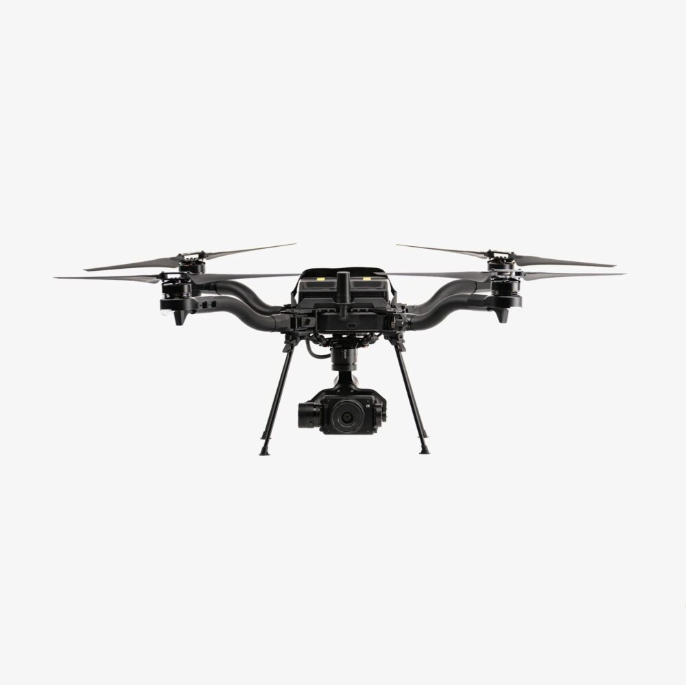
- Esri has integrated the Blue UAS cleared Astro Max drone from Freefly Systems with its ArcGIS Flight application.
- The Astro Max drone meets the security and performance standards of the NDAA and provides enhanced capabilities for government and enterprise users.
- ArcGIS Flight offers features such as autonomous drone flight, high-quality imagery capture, enhanced situational awareness, and easy sharing of flight information.
- Esri's support for the Astro Max drone provides a trusted and high-performance drone solution that meets stringent security and compliance standards.
Read Full Article
11 Likes
For uninterrupted reading, download the app