Dev
3w
197

Image Credit: Dev
Geospatial Indexing Sampler
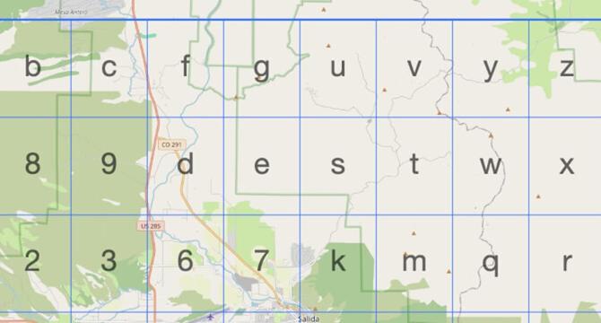
- Geospatial indexing is a technique used to filter GPS points without using traditional tools like PostGIS.
- Popular geospatial indexing methods include Geohash, H3, and S2, which divide the globe into shapes like rectangles, hexagons, and curves.
- These indexes can be used to quickly find objects in specific areas or map viewports.
- By incorporating these indexes in database tables, filtering GPS data based on location becomes efficient.
Read Full Article
11 Likes
For uninterrupted reading, download the app