A naukri.com initiative
Hackaday
1M
99
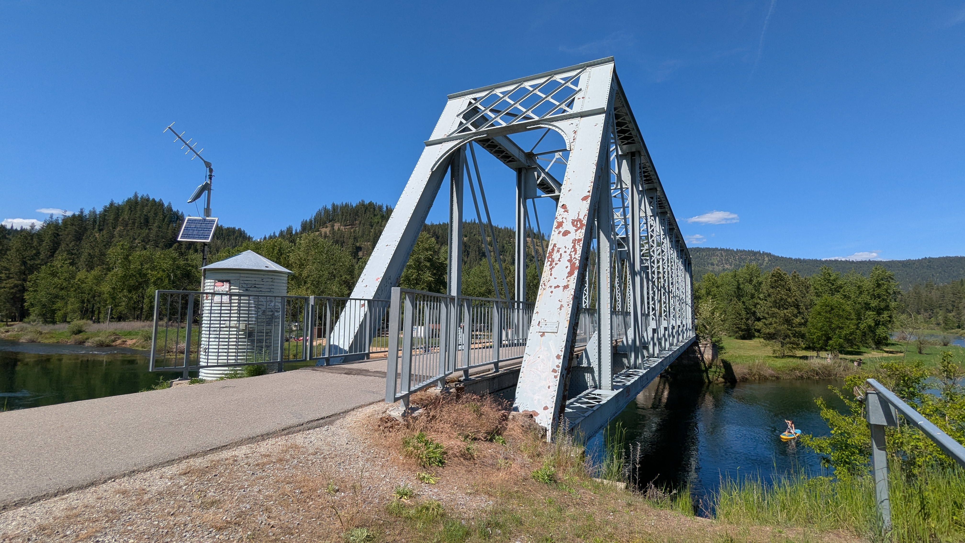
Image Credit: Hackaday
Remotely Interesting: Stream Gages
- The US Geological Survey (USGS) has a network of streamgages to monitor waterways, with the first station established in 1889.
- Stream monitoring mainly focuses on measuring discharge rate, which is the volume of water passing a point in a set time.
- Discharge rate in the US is measured in cubic feet per second (cfs), ranging from a trickle to over a million cfs in big rivers.
- Stream height, also known as flood stage, is a key data point measured by streamgages using techniques like stilling wells.
- Stilling wells help dampen water turbulence and make measuring water height easier; they require periodic maintenance due to silt accumulation.
- Bubble gages offer an alternative to stilling wells, measuring river stage using gas pressure and being effective in high-silt rivers.
- The USGS also uses Rapid Deployment Gages (RDGs) for temporary monitoring during natural disasters, with radar and sonar technologies.
- Calculating discharge rate involves field measurements using tools like current meters or Acoustic Doppler Current Profilers.
- Data collection from streamgages has evolved from manual pen-and-paper methods to electronic data loggers transmitting data via satellite.
- Gage data is now collected every 15 minutes by USGS streamgages, providing near-real-time access to hydrological data.
Read Full Article
5 Likes
For uninterrupted reading, download the app