Dronelife
1M
194

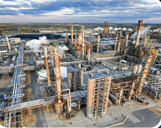
Image Credit: Dronelife
SimActive and Air Data Solutions Enhance Oil & Gas Mapping with High-Resolution Aerial Imagery
- SimActive's Correlator3D software is being used by Air Data Solutions (ADS) to map large oil and gas operations in South Texas.
- ADS captures more than 3,000 high-resolution images annually using Phase One camera systems.
- Correlator3D streamlines the processing by allowing direct import of Phase One's IIQ image format and generates essential geospatial products.
- Correlator3D's processing speed and GPU-powered architecture enables ADS to efficiently handle large datasets for quick turnaround times and accurate outputs.
Read Full Article
11 Likes
For uninterrupted reading, download the app