A naukri.com initiative
Dronelife
1w
141
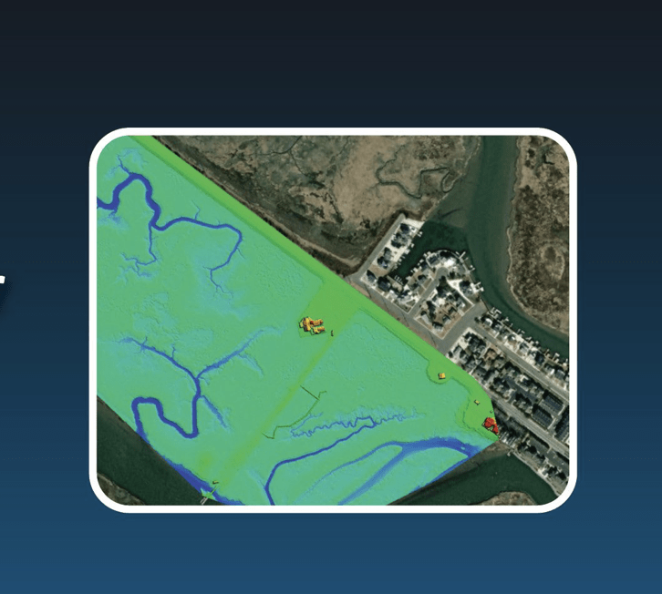
Image Credit: Dronelife
US Army Corps of Engineers Deploys SimActive’s Correlator3D for Coastal Corridor Mapping
- SimActive Inc. announced that their Correlator3D product was deployed by the US Army Corps of Engineers for corridor mapping.
- Correlator3D processes imagery and creates mapping products in conjunction with topo-bathy lidar systems.
- The software is efficient and easy to use, with outstanding DEM editing and mosaic editing tools.
- SimActive's latest version of Correlator3D, 10.3, provides optimizations for large projects and enhances user experience.
Read Full Article
8 Likes
For uninterrupted reading, download the app