TechBullion
1w
204

Image Credit: TechBullion
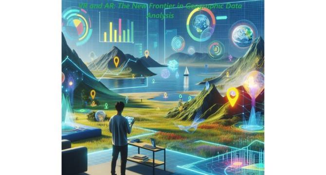
VR and AR: The New Frontier in Geographic Data Analysis
- The convergence of Virtual Reality (VR), Augmented Reality (AR), and Geographic Information Systems (GIS) is revolutionizing how we visualize and interact with spatial data.
- Immersive technologies make complex spatial data more accessible, allowing users to visualize terrain models, environmental scenarios, and urban developments in lifelike detail.
- Recent technological breakthroughs have addressed key challenges in integrating VR and AR with GIS, making immersive GIS tools more efficient and effective.
- The real-world benefits of immersive GIS are evident in stakeholder engagement in urban planning, disaster management response times, and environmental monitoring.
Read Full Article
12 Likes
For uninterrupted reading, download the app