Dronelife
1M
378

Image Credit: Dronelife
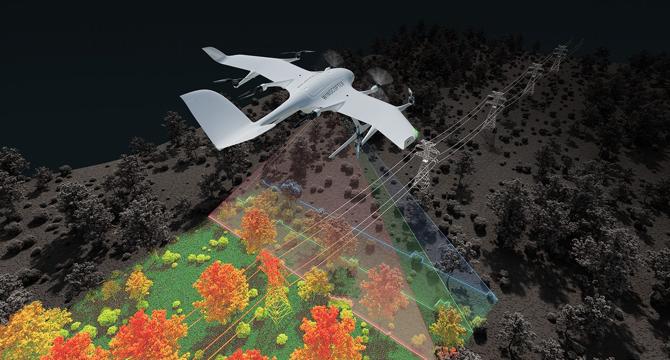
Wingcopter Expands into Long-Range LiDAR Surveying
- Wingcopter has expanded its offerings to include long-range LiDAR surveying solutions.
- The Wingcopter 198 drone is equipped with advanced laser scanning and camera systems for efficient data collection.
- The system can survey up to 37 miles (60 km) of infrastructure in one mission, making it suitable for inspecting power lines, pipelines, railways, etc.
- Wingcopter's surveying solutions are generating strong interest in Brazil, with plans for deployment in the market.
Read Full Article
22 Likes
For uninterrupted reading, download the app