A naukri.com initiative
Medium
1d
130
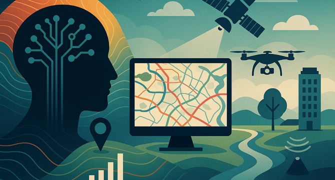
Image Credit: Medium
How Autonomous GIS and AI Integration are Transforming Spatial Analysis
- Autonomous GIS integrated with AI is revolutionizing spatial analysis by efficiently processing immense datasets from sources like satellite imagery, LiDAR, and ground sensors.
- AI-driven interpretation transforms raw spatial data into actionable intelligence, enhancing predictive capabilities and automating tasks previously deemed complex or time-consuming.
- Geospatial cloud platforms and real-time GIS further amplify predictive prowess, offering scalability to manage large datasets and continuous analysis through IoT sensors and live feeds.
- Continued advancements in AI and autonomous GIS hold promise for hyper-personalized services, accurate predictive models for urban growth and climate change impacts, and enhanced decision support systems.
Read Full Article
7 Likes
For uninterrupted reading, download the app