Nasa
4d
125

Image Credit: Nasa
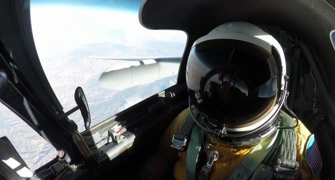
Meet Mineral Mappers Flying NASA Tech Out West
- NASA and USGS collaborate to map critical minerals in Western states like California and Nevada.
- High-altitude aircraft and sensors help identify potential mineral sources essential for national security.
- The partnership, known as GEMx, conducts airborne spectroscopic surveys to map North American soil.
- NASA's cutting-edge technology, like AVIRIS-5, aids in detecting minerals crucial for the economy.
Read Full Article
7 Likes
For uninterrupted reading, download the app